


![]()
![]()
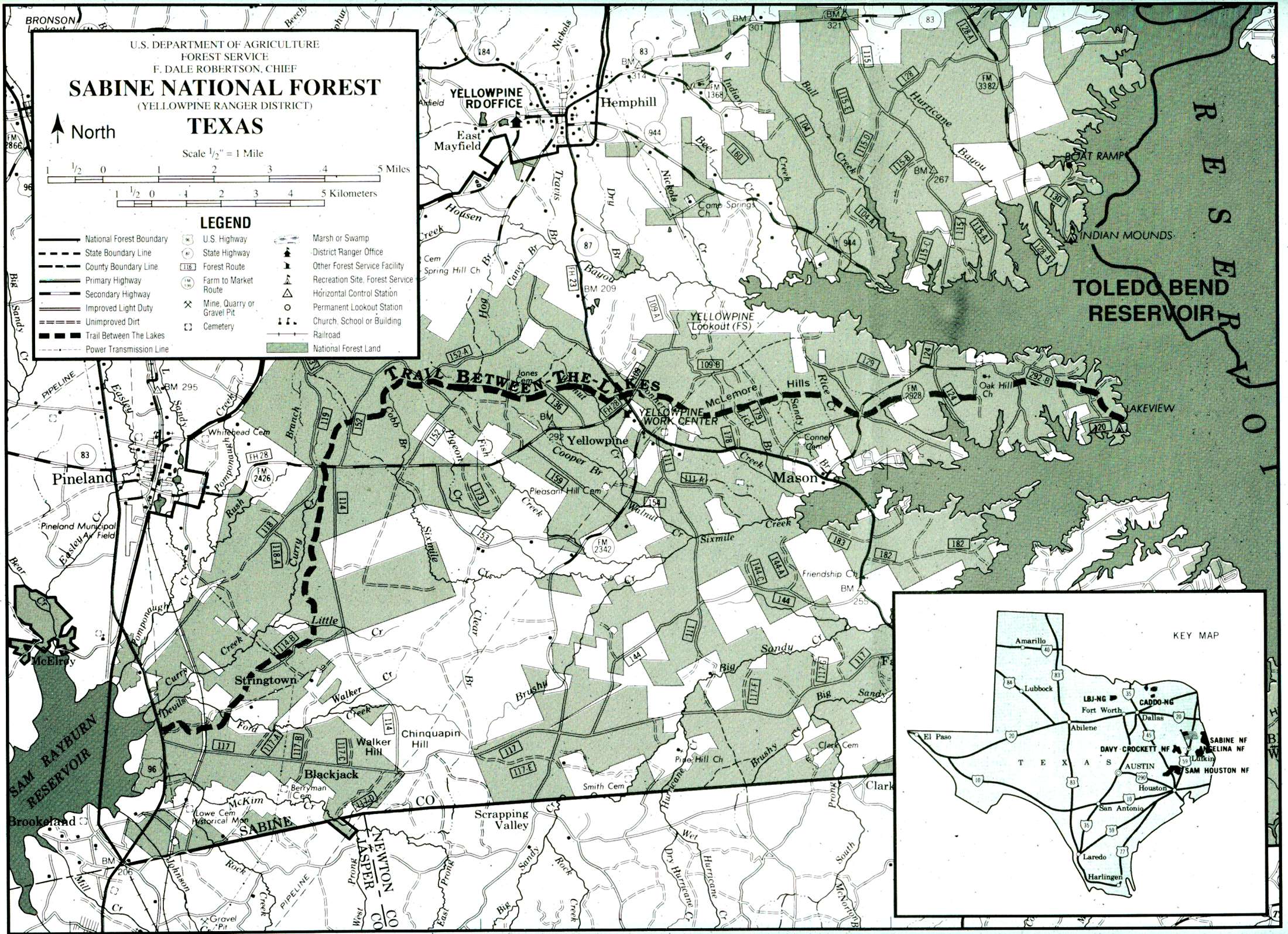
Trail Between the Lakes
in Sabine National Forest
Click any image for an enlargement
In a joint effort between the Golden Triangle Group of the Sierra Club and the USDA Forest Service, trail planning began in 1981, and the construction began in 1985. The final section of the trail was located and marked during the fall of 1990, but the group continues to work on the trail, and members have adopted sections to maintain.
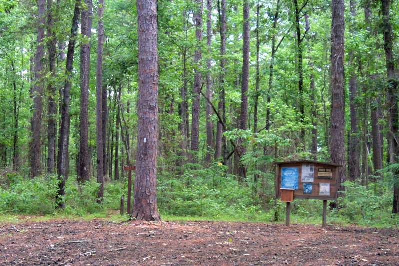
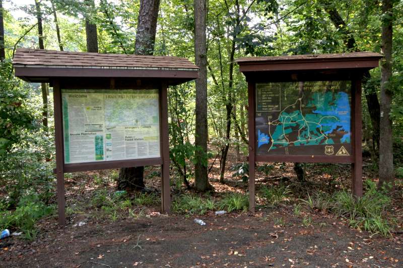
Trailhead at Lakeview Recreation Area
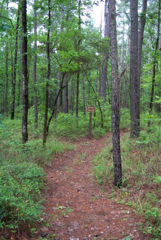
The trail is easy to follow. It is marked with 2″ x 4″ aluminum, rectangular-shaped tags which are attached to trees at a height of 5 feet above the ground in both directions. A vertical tag indicates that the trail generally continues straight ahead. A single tag with the long side leaning to the left indicates a left turn and double tags with the long sides leaning to the right indicate a hard right turn.
The Trail Between The Lakes is designated for hiking only; horses, off-road vehicles, and mountain bikes are not allowed.
There are many opportunities to camp in primitive or natural settings along the route. Camping is not allowed in the Moore Plantation Wildlife Management Area during deer hunting season or in colonies of red-cockaded woodpeckers, which are an endangered species. Woodpecker colony boundaries are marked with aqua-green paint and boundary signs. The Forest Service asks that you please be careful with campfires, and if you “pack it in, pack it out”.
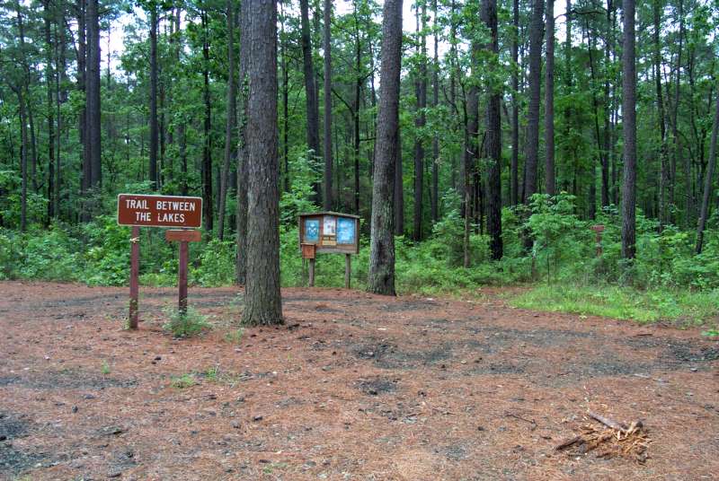
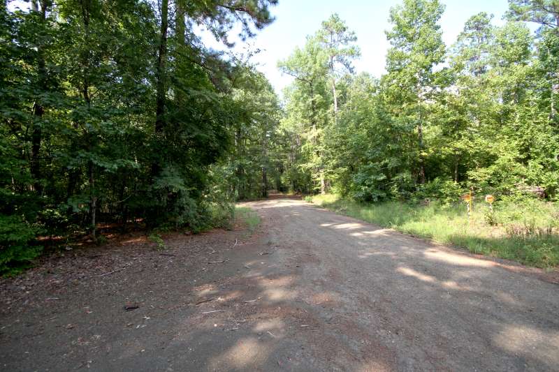
There are many points where trail comes close to road
Well marked trails are easy to join or leave at many points near roads.
Above are photos of the Trail End at Highway 96 by Sam Rayburn Reservoir