


![]()
![]()
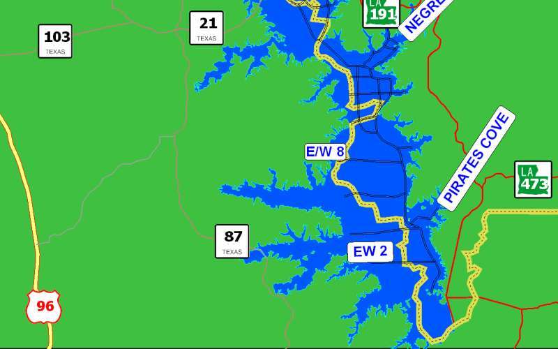
2012 Update
The SRA-LA has removed all visible stumps in 47 miles of Main N/S lanes at an elevation of 160 msl. These 47 miles are now declared safe for boating at an elevation of 163 msl. All other lanes are still considered safe at 168 msl. -Mike Carr, SRA-LA
The map at the right shows the same boat lanes as the original maps below. However, the YELLOW lanes on the map at the right are the ones that have been upgraded as described above.
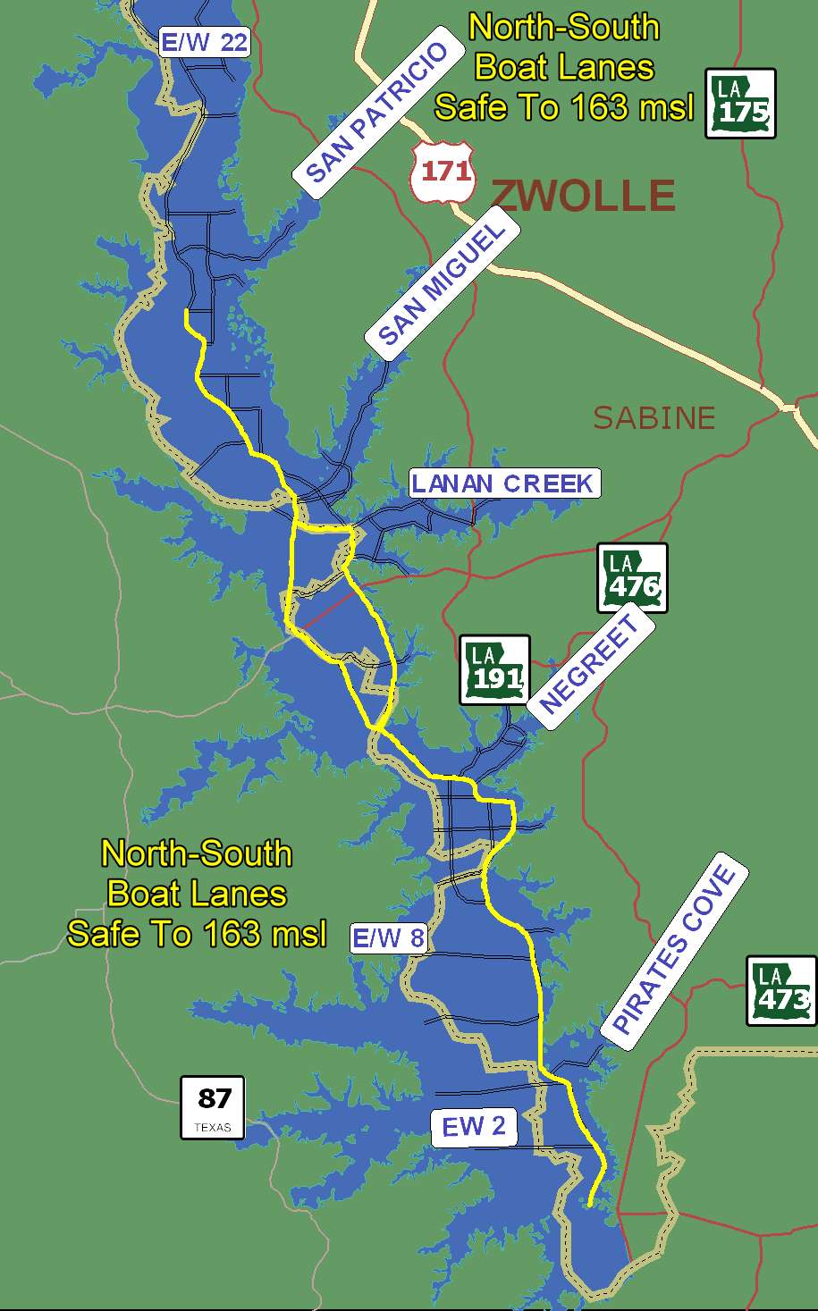
2012 Update
Yellow designates boat lanes upgraded during 2011 which are safe to an elevation of 163 msl.
Click on map for enlarged image – It is large… give it time to load!
Get PDF Map
Get this map as an Adobe PDF you can print – set up for legal size paper
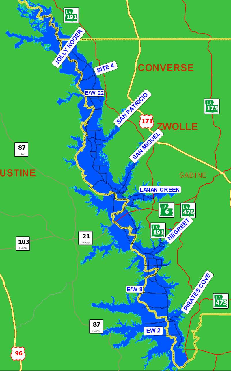
Click on any image left or below for enlarged version
This map provided by SRA – Louisiana
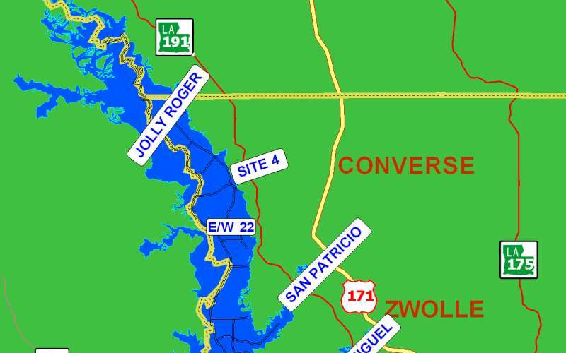 | 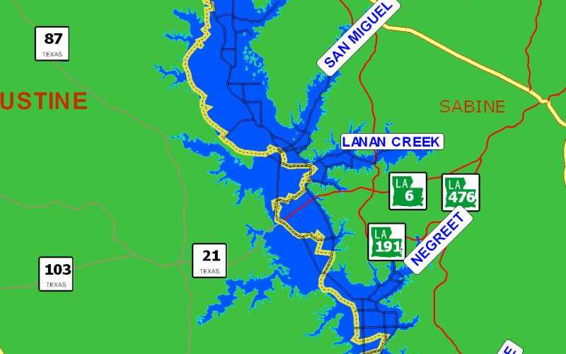 |  |
| North End | Middle | South End |