


![]()
![]()
Pleasure Point Park – SRA LA Site #15
Click on any image for an enlargement
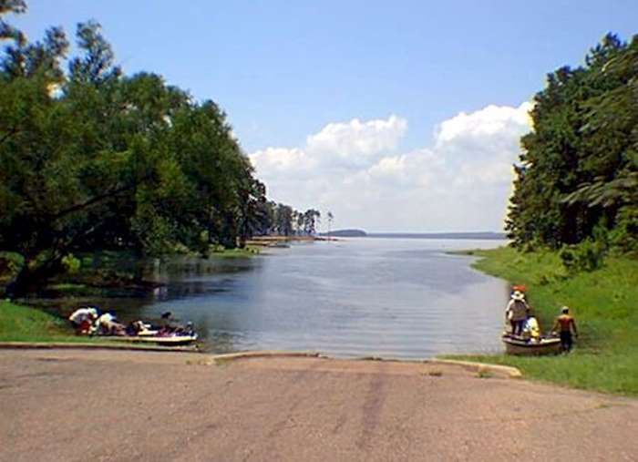
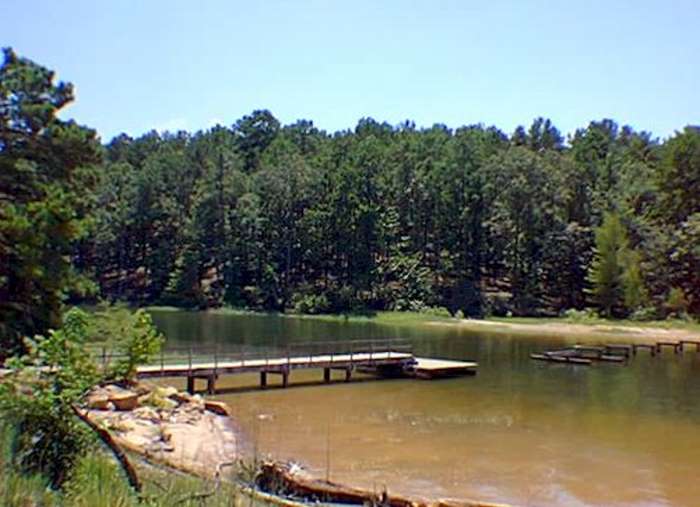
Pleasure Point’s 195 acres of wooded tranquility and about 3 miles of shoreline into several little coves offers quiet seclusion. It is near the south end of the lake – about 5 miles from the dam.
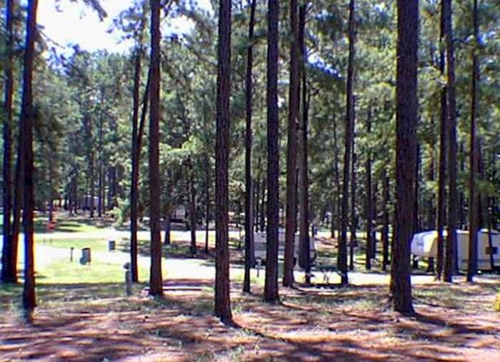
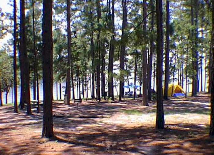
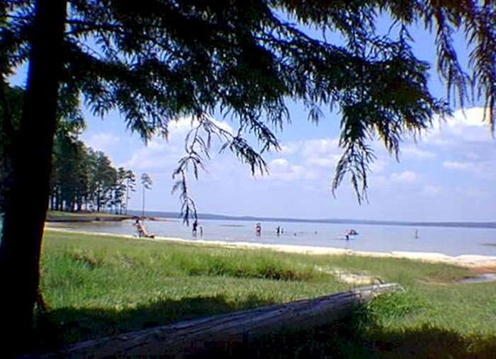
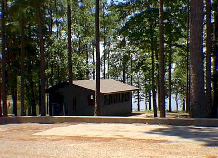
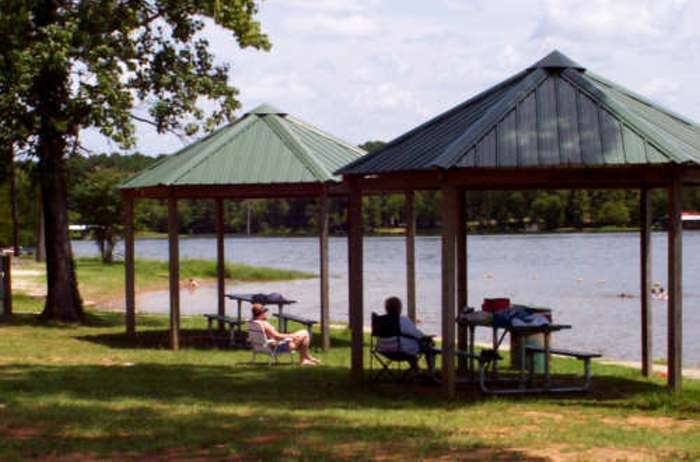
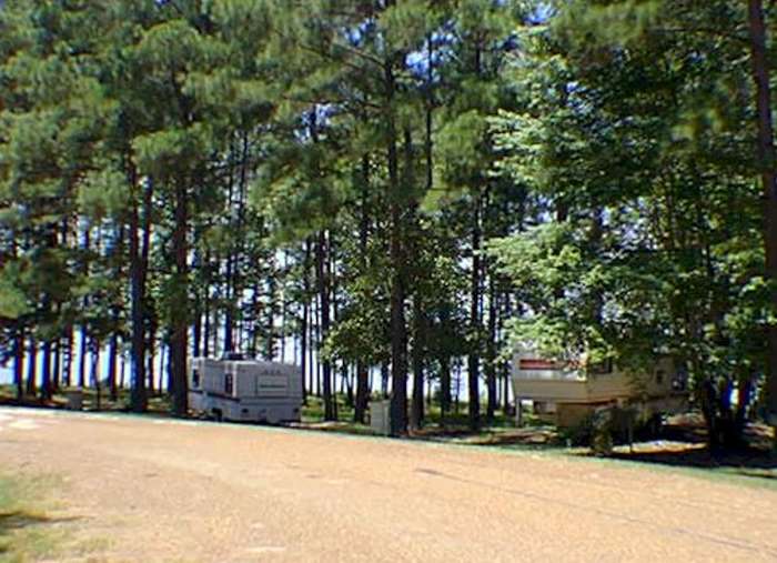
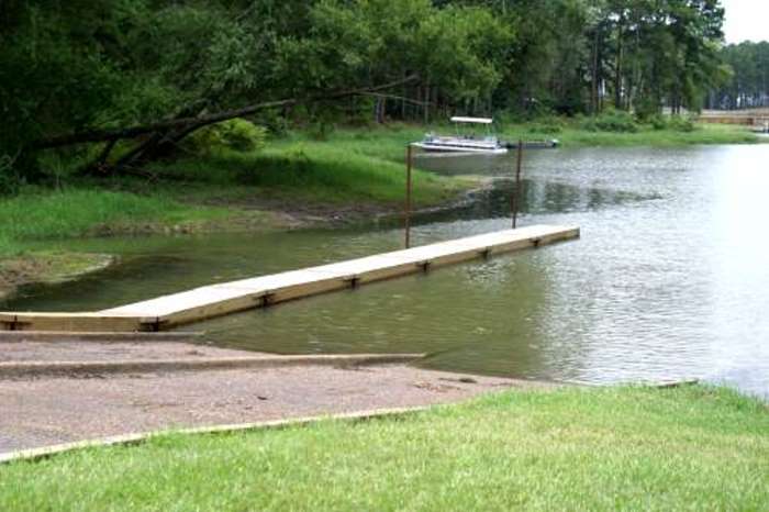
It’s wooded, rolling land that is just beautiful. There are a number of quiet coves, such as in the picture at the right. They have the usual (for SRA sites) playground facilities, picnic areas, and swimming beach area. Tent and RV camping are available and RV campers may stay overnight or by the month. There are grills for barbecue available scattered all around the park area. There is also a paved, 2 lane boat launch facility and ample parking.
 |  |
 |  |
 |  |
 |  |
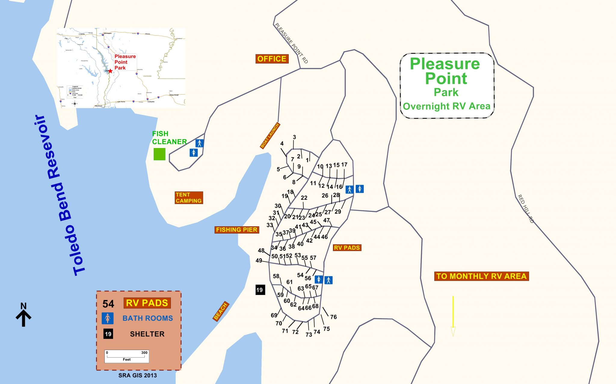
Map of Pleasure Point Park
Directions:
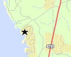
Pleasure Point is just off of Louisiana Highway 191.
Turn off of La 191, between the 5 and 6 mile markers, onto Pleasure Point Road. Go 1.2 miles on Pleasure Point Road to park entrance.
Pleasure Point Road is 4 miles South of the junction of Louisiana Highway 473 and Louisiana Highway 191.
his park is owned and operated by Sabine River Authority, State of Louisiana. For more complete information about SRA-Louisiana facilities call (318) 256-4112 or (800) 259-LAKE
Photos by Frank Dutton – Toledo-Bend.Com